SMART Map is changing
SMART Map is Fire and Emergency’s main web-based application for national spatial (location-based) data and is integrated with the Station Management System (SMS).
There has been significant upgrade to SMART Map based on feedback from users and in consultation with stakeholders from Communication Centres and the Regional Planning and Performance teams, among others.
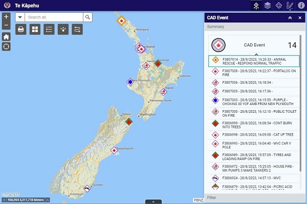
On Tuesday, 19 September 2023, SMART Map will be upgraded and renamed to Te Kāpehu and SMART Risk will be decommissioned.
Along with the upgrade, SMART Map will be renamed Te Kāpehu after consultation with the Kaupapa Māori and Cultural Communities directorate.
Te Kāpehu literally translates to "The Compass" in Te Reo Māori. The name was chosen for its relationship to navigation and the objective of Te Kāpehu as a tool for navigating and discovering geospatial data and insights.
All the mapping layers that were available in SMART Risk will be available in Te Kāpehu. All existing links to SMART Map and SMART Risk will be redirected to the new Te Kāpehu URL(external link).
Legacy versions of SMART Map and SMART Risk will be available for a limited time.
Please read National Notice 048/2023 for more information.